| Tweet |
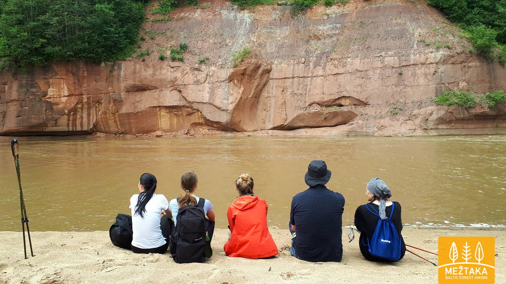
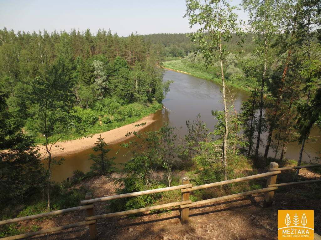
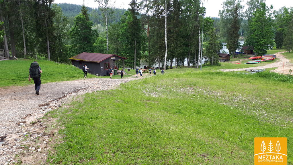
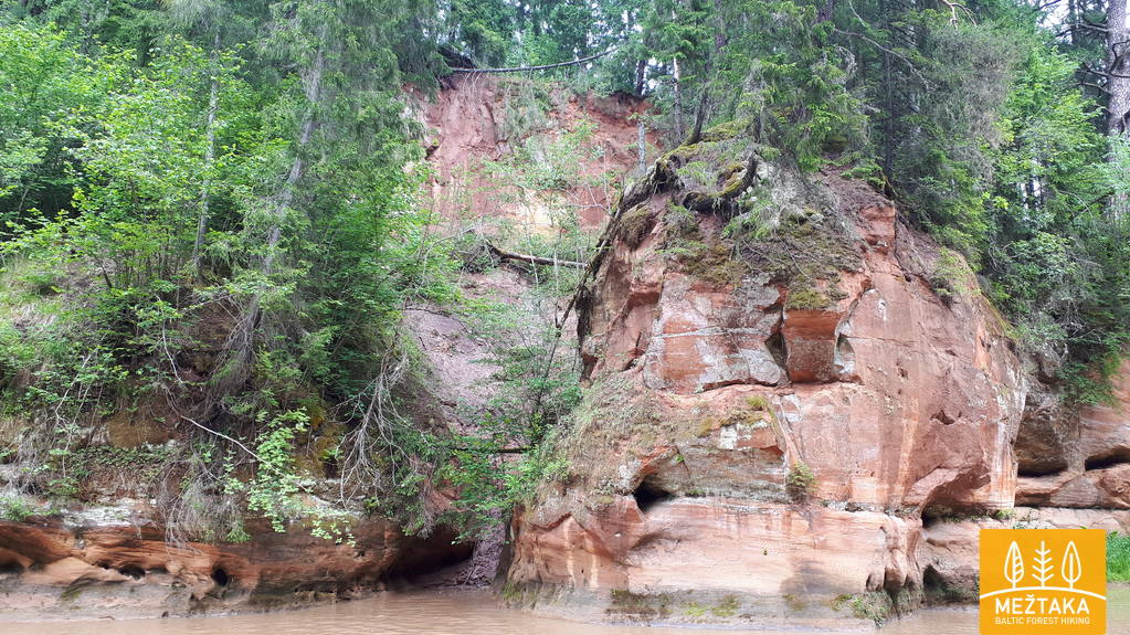
Forest Trail Takes you out of the hustle and bustle of the city to a place where there is peace. Inhale the refreshing air of pine forest, relax in the sun-heated moss and think of nothing. Go to the Forest Trail with a mushroombasket or a notebook of your bird watcher's notes. You can meet others like you - with a backpack on your shoulders and a map in your hand, challenging yourself on the steep slopes of the ravines. When you climb up on the lookout tower, you will sometimes see only a lot of greenery up to the horizon, but you know - Forest Trail is there, it will surely take you through the forest, through country roads through small villages, sometimes visiting cities. When you arrive in Latvia you will recognize Forest Trail as Mežtaka, in Estonia - Metsa Matkarada, in Lithuania - Miško takas. Forest Trail has no holidays - it is always waiting for its hikers.
Descriptions and maps of the Forest Trail section of the Gauja National Park (from the 4th to the 8th section - route from Rāmkalni-Valmiera (112 km)) find HERE
Information about the sections of the hiking route Forest Trail in the surroundings of Cēsis:
Practical information for planning a hike along the sections of the Forest Trail
can be found HERE
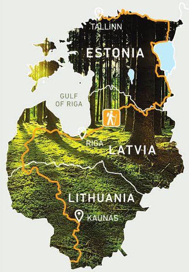
The Forest Trail is a long distance hiking route, part of E11, in the Baltic States that leads through the most forested lands and national parks of Lithuania, Latvia and Estonia. The route starts from the Polish - Lithuanian border near the town of Lazdijai, leads through Latvia, turning into Riga, and finishes in Tallinn, Estonia.
Name in Latvia: Mežtaka
Name in Lithuania: Miško takas
Name in Estonia: Metsa matkarada
Length: ~2140 km, 102-114 days
The route is divided into ~ 20 km long stages with accommodation and transport options.
Road surface: forest roads and trails, country roads, edges of asphalted roads, sandy or rocky beaches.
Highest points and valleys: Nemunas Valley and Samogitian (Žemaitija) Highlands in Lithuania, Rietumkursa upland, ancient valley of Abava and Gauja, Veclaicene protected landscape area in Latvia, Pius ancient valley and northern coast in Estonia.
Highlights:
In Lithuania: Dzūkija and Žemaitija National Parks, Nemunas Loop Regional Park, Kaunas.
In Latvia: Kuldiga, Abava River Valley Nature Park, Kemeri National Park, Gauja National Park.
In Estonia - Lahemaa National Park, Alutaguse National Park, Suur Munamägi - the highest peak of the Baltic States (318 m above sea level), Lake Peipus - the fourth largest lake in Europe.
Photo: Forest Trail photo archive
Cesis Tourism Information Center
Address: Baznīcas laukums 1, Cēsis
Latvija, LV-4101
Tel. +371 28318318
info@cesis.lv
Working hours:
Tuesday - Saturday 10.00-17.00
Monday, Sunday CLOSED