

| Tweet |
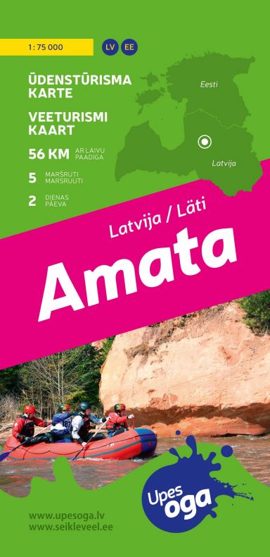
The Amata River is one of the fastest and most beautiful Latvian rivers. Amata valley with dolomite and sandstone outcrops, steep terraces overgrown with forests, and winding river what is full of rapids enjoys both - paddlers and walkers.
During spring floods the Amata turns into a mountain river, with sharp bends, waves in height of a meter in overfalls, streams that force the rowing boat to the cliffs, ramparts, reels and barrels attract adventure-lovers already for several decades. River is navigable also during summers and falls after lasting rains. Indicator of the river’s character is water level in Melturi hydrological observation station – if it is more than 1m - the river is navigable, if it exceeds 1.7 m, it becomes dangerous. Paddling along the Amata requires skills and preparedness, or it is recommended to be done under the guidance of experienced paddler.
Paddling along the Amata can be started from Skujene, it will be 2-day trip. In the upper course the river is relatively peaceful, however it is full of small overfalls and rapids - real enjoyment of boating and wilderness.
Water tourism map HERE
Drabešu pagasts, Amata LV-4139, Latvija
Cesis Tourism Information Center
Address: Baznīcas laukums 1, Cēsis
Latvija, LV-4101
Tel. +371 28318318
info@cesis.lv
Working hours:
Tuesday - Saturday 10.00-17.00
Monday, Sunday CLOSED


All the information you can find in the new tourism website.
Hello
All the information you can find in the new tourism website.
visit.cesis.lv