| Tweet |
Classical section of the Brasla River begins at Plācis. 3 km up to Straupe it winds through coastal landscape typical for Latvian rivers, with a thick deciduous forest, where time by time some house roof can be seen. Closer to Straupe the forest is stepping back, giving place for this ancient Hanseatic town. Shortly before Vējiņi settlement and kingdom of underground lakes, the firstsandstone outcrops appear. In dry summers when the water level is low, there are potentially very shallow places up to the road bridge of A3 (Riga –Valmiera), but this does not reduce the beauty of the Brasla. Clear water, yellow spatterdocks, some low outcrops and houses from time to time. At “Mārkulīči” settlement (1 km before the bridge of A3 road) the Brasla is crossed by an interesting bridge of “dancingropes”, walking on which can return the mobility in limbs after sitting in the canoe for a long time.
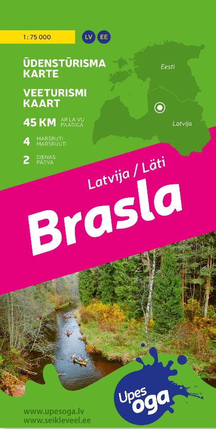
Water tourism map HERE
Braslas iela 13, Straupe, Straupes pagasts, LV-4152, Latvija
Cesis Tourism Information Center
Address: Baznīcas laukums 1, Cēsis
Latvija, LV-4101
Tel. +371 28318318
info@cesis.lv
Working hours:
Tuesday - Saturday 10.00-17.00
Monday, Sunday CLOSED