| Tweet |
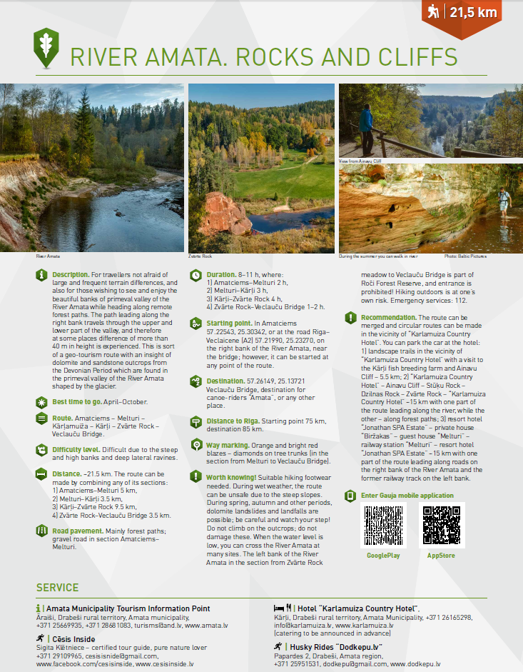
For travellers not afraid of large and frequent terrain differences, and also for those wishing to see and enjoy the beautiful banks of primeval valley of the River Amata while heading along remote forest paths.
The path leading along the right bank travels through the upper and lower part of the valley, and therefore at some places difference of more than 40 m in height is experienced. This is sort of a geo-tourism route with an insight of dolomite and sandstone outcrops from the Devonian Period which are found in the primeval valley of the River Amata shaped by the glacier.
Route: Amatciems – Melturi – Kārļamuiža – Kārļi – Zvārte Rock – Veclauču Bridge.
Distance: ~21.5 km. The route can be made by combining any of its sections:
Route map HERE
Amatciems, Amata, Amatas novads, Latvija
Cesis Tourism Information Center
Address: Baznīcas laukums 1, Cēsis
Latvija, LV-4101
Tel. +371 28318318
info@cesis.lv
Working hours:
Tuesday - Saturday 10.00-17.00
Monday, Sunday CLOSED